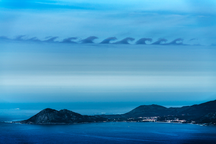
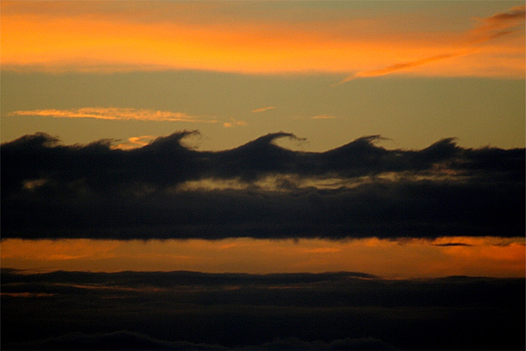
They look like breaking ocean waves in the sky and are not an optical illusion. Here's everything you must know about Kelvin-Helmholtz clouds.
It almost doesn't look real and can happen anywhere in the world, even though it is a relatively rare natural phenomenon.
How do Kelvin-Helmholtz clouds form? Why do these cloud formations look like breaking waves?
Kelvin-Helmholtz waves form when enough moisture is present in the sky and when two separate layers of air in the atmosphere move at different speeds.
Let's go into detail.
There's a lower part of a cloud formation that is cooler and denser, and there's the top part of the cloud where the air is warmer and lighter.
As a result, the air on top of the cloud moves faster than the air at the bottom.
So, in a way similar to the ocean wave, the air moving over will make the top part tilt over or bend and almost crash down.

Kelvin-Helmholtz Instability
Kelvin-Helmholtz waves form when winds move faster at the top of a cloud's layer than at the bottom.
This difference in wind speed or direction is called wind shear.
Faster-moving air at the top of the cloud scoops the top of the layer forward, producing a striking wave-like pattern in the sky.
These particular clouds illustrate a phenomenon called Kelvin-Helmholtz instability, which was discovered by Lord Kelvin and Hermann von Helmholtz in the mid-1800s.
The duo studied atmospheric instability.
The wind is also responsible for accelerating the breaking of a wave.
For example, when you see the wind blowing over an outdoor swimming pool, you'll notice ripples appearing on the surface of the water.
That is the perfect, small-scale example of Kelvin-Helmholtz instability.

A Natural Phenomenon
But the phenomenon can also occur in Jupiter's cloud patterns, Saturn's bands, and on the Sun's corona.
"Wherever you have two streams of material traveling at different speeds, this instability will kick in," notes Professor Mike Merrifield from the University of Nottingham.
The eye-catching cloud formation creates several horse head-shapes that look like ocean waves.
Kelvin-Helmholtz cloud waves are most likely to form on windy days when the atmosphere is unstable, wind moves quickly, and air rises to form clouds.
The cloud's billowing wave pattern is often a sign of potential turbulence for aircraft. It is a mid-to-high-level cloud.
"The base of these clouds is often above 16,500 feet (5,029 meters), as this is where the difference in wind speed in the atmosphere tends to be greatest," adds weather forecaster and former BBC Weatherman Liam Dutton.
"Their presence often marks an inversion in the atmosphere, where there are sudden changes in temperature, as well as wind speed."
Kelvin-Helmholtz clouds are also commonly known as fluctus or billow clouds.
