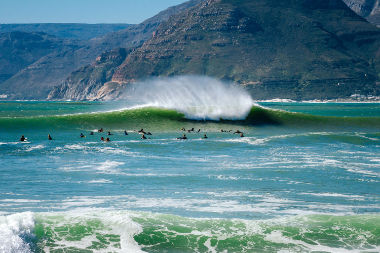
Meteorology is the art of analyzing Earth's atmosphere's past and present variables and creating accurate weather forecasts.
Atmospheric science features several elements that impact the source and origins of waves.
The randomness of weather is what makes every swell different and why some waves are more powerful and perfect than others.
Also, weather components interact with the Earth's physics several times a day to produce unexpected results.
Need an example? Here's a critical one.
"Once the Sun's energy enters the atmosphere, the atmosphere is set in motion by an uneven heating of the poles and the Equator, and that strange but vital ingredient, the Coriolis force," note Tony Butt and Paul Russell, authors of the book "Surf Science."
"One useful thing this motion gives us is the formation of large, swirling vortices of surface air called depressions."
So, with a low-pressure system - also known as depression - we've got what it takes to produce waves, i.e., strong winds.
Basic meteorological knowledge is critical to reading a surf report or understanding how a surf forecast will determine the choice of a surf break.
But what are the most important meteorological elements that impact and interfere with surfing and the creation of rideable waves?
Let's take a quick look at the most critical phenomena involved in the creation of surf.
1. Atmospheric Pressure
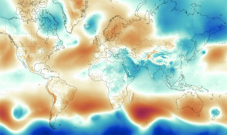
The low-pressure system is the most relevant variable regarding the creation of surfing waves.
Its air cell, whose pressure is lower than its surroundings, travels across the oceans and seas with the help of the Coriolis force and generates waves as it produces frictional drag on the water's surface.
"The deeper the depression, the faster this air moves. The faster it moves, the more it drags on the water, and the bigger the waves will be," stress Butt and Russell.
These mid-latitude depressions are by far the most relevant sources of waves for surfing.
They can quickly develop from a minor atmospheric disturbance into a full-blown, powerful storm.
Tracking storms and their impact on the coastlines is one of the surfer's most valuable skills, as it could interfere with planning future sessions.
2. Wind Speed and Direction
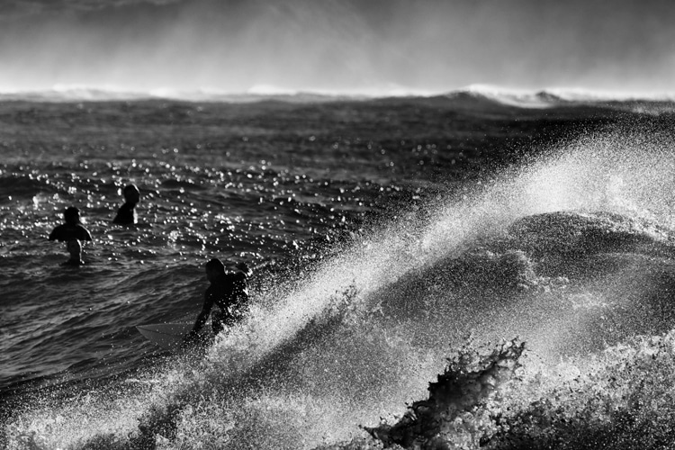
The wind is the beginning - and sometimes the end - of surfing. Waves are energy in motion. But where does this energy come from?
"If we're looking from space, it appears as if someone dropped a rock in the ocean, and ripples traveled out from its initial splash," adds Nathan Todd Cool, author of "The WetSand WaveCast Guide to Surf Forecasting."
So, the energy from the wind out at sea is transferred into the ocean water and then transformed into wave energy.
This newly-created wave energy will travel in the direction the wind is blowing.
Obviously, the stronger the wind, the more energy is shifted toward the surface of the water; small energy will translate into small waves.
So, as we can see, the speed and direction of the wind are critical to the formation of the first wave trains in the open ocean.
The last rule of thumb is that the farther away the wind-water interaction takes place, the better and cleaner the waves.
In this case, we get the ground swell, as opposed to the wind swell, i.e., choppy waves created near the coastline.
3. Water Temperature
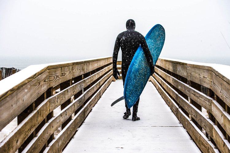
The temperature of the water plays a significant role in surfing, as it often keeps a large percentage of the wave-riding popular away from cold water paradises and uncrowded, idyllic surf spots.
There are many examples of surfing destinations where water temp is a no-go factor, including Chile, Argentina, South Africa, Western and South Australia, Tasmania, New Zealand, Canada, Iceland, and Japan.
Ocean currents regulate the temperature of ocean water; thus, they also indirectly impact surf-influenced decisions.
Are you willing to risk hypothermia for a stunning point break somewhere in Scandinavia? When do you need to wear boots, gloves, hoods, and thick 6/5/4 mm wetsuits?
"In Europe, for example, there are many places where the variation of water temperature with latitude is the opposite from what one would expect," underline Butt and Russell.
That is why knowing what to expect and studying charts and weather forecasts is mandatory.
The phenomenon of upwelling, for instance, changes all pre-defined rules.
In Southern Africa, the Benguela current, which flows next to the west coast, brings freezing water from the Antarctic even during summer.
In South America, the Humboldt current does the same.
"The trade winds, aided by the Coriolis force, continually blow the [warmer] surface water away from the coast, allowing cold water from underneath to rise up to the surface."
"This, along with the surface current, ensure that the surface water is constantly replenished, making it even colder and more resistant to season changes."
As a result, on the coastline of Namibia and western South Africa, you can easily find water temperatures of 52 °F (11 °C) with land temperatures soaring above 104 °F (40 °C).
In conclusion, water temperature is not a gradual and linear variable as you travel from high to low latitudes.
4. Rain/Precipitation
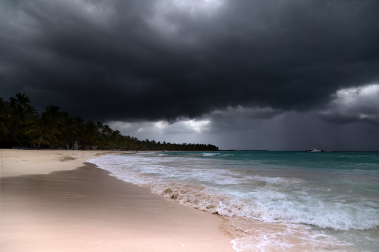
Showers and rain are always very clear signs of the weather conditions.
For instance, showers need an unstable airstream, something to start the surface air to ascend, and enough moisture in the air.
"The characteristic mode of showery rain is to start heavy and tail away as the shower passes," explains Alan Watts, the author of "The Weather Book."
"The heavy rain drags down the upper wind with it, and so we expect a bluster of strong wind at the head of the shower."
This can be particularly game-changing if you're out in the water surfing.
Also, showers occur over the sea when the latter is warm, and the airstream is cold compared to it, meaning that coastlines that face the wind in autumn and early winter are very prone to showers, as are the sea areas windward of them.
When it comes to rain, it's important to note that heavy, non-stop precipitation often tells us that:
- A cold front is passing or the cold front part of an occlusion;
- The presence of a cumulonimbus cloud is a sign that more heavy showers will come, and maybe a thunderstorm;
- If drizzle, thick fog might be on the way;
If your home break is in a densely populated area, skip surfing for at least 72 hours following rainfall.
When it rains, the runoff increases and sends untreated trash, human and animal waste, fertilizers, pesticides, plastics, and other pollutants into waterways such as rivers, streams, lakes, and creeks.
Sooner or later, they will flow into the sea, and the water pollution levels will increase, exposing humans to harmful bacteria.
5. Tides
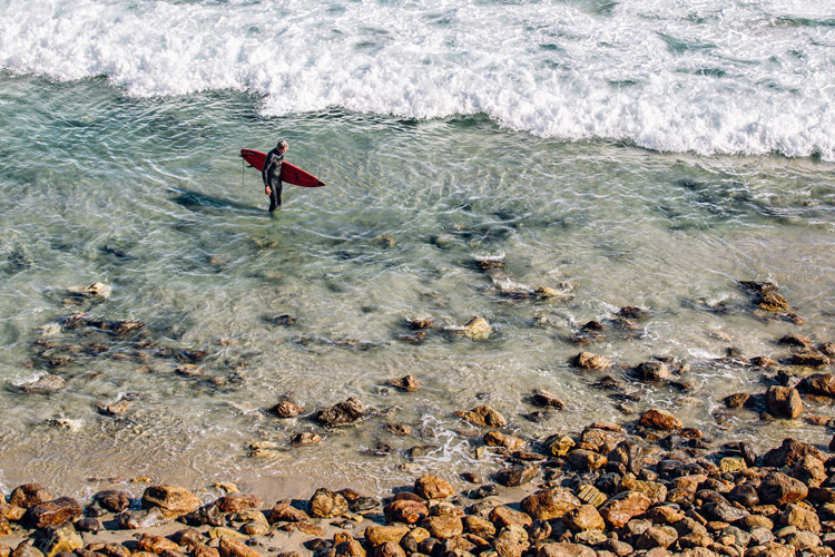
Although more of a physical oceanography variable, tides (and tidal range) can have an impact on weather.
Tides result from a unique relationship between the Moon and the Earth.
The so-called gravitational pull effect allows us to observe more or less vertical differences in height between low and high water levels.
As the Moon's gravity pulls on Earth's water, the water bulges in the direction of the Moon, creating a tidal force.
The phenomenon of tides affects the surfing conditions significantly and can sometimes be more decisive - for the good and bad - than the characteristics of a particular swell.
The most common ways tides affect the surf are:
- A hollow, low tide wave that works better the shallower the water - in this case, low tide springs would be best;
- A big wave spot where the peak has to be as near to the shore as possible to avoid outside cleanup sets - in this case, high tide springs would be best;
Also, on many surf breaks, high or low tide neaps will work better and, in some places, work amazingly well with a mid-tide on neaps.
Finally, let's take a quick look into the meteorological factor involving tides.
Differences between predicted and actual times of high and low water are caused mainly by the wind.
Unusually high or low barometric pressure or prolonged periods of strong winds can result in variations between actual sea level and the predicted heights.
Also, in theory, you could say that extreme tide events during a new or full moon can help dissipate different water temperatures, thereby creating local winds due to the sudden difference between land and ocean temperatures.
Finally, let's not forget that a high-pressure system can lower sea levels, leading to exceptionally low tides.
On the other hand, an abnormal low-pressure system can generate much higher tides than initially predicted.
