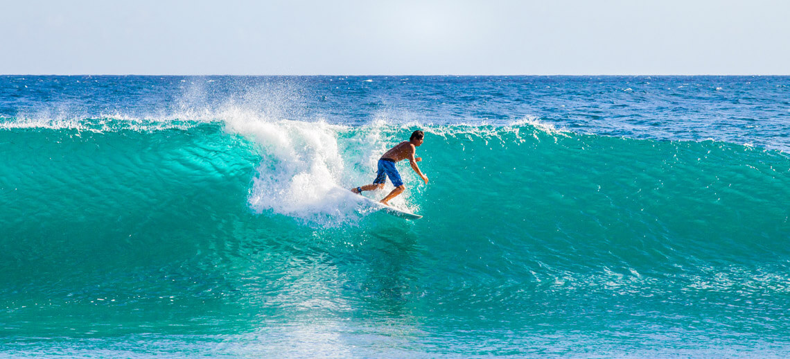
The complete surf report directory with wave and wind forecasts for your region. Swell height, wind speed and direction, wave period, and tsunami watch.
Check the most accurate ocean predictions for your surf spot and learn more about maritime forecast models. Get the surf report for your long-range sessions.
Wave Forecast Map: 96-Hour Outlook
The interactive wave map provides reliable information on the current and upcoming swell conditions, allowing you to check the size, direction, and period of the swells.
Hit play for an animated evolution of the surf for the next four days in your region. Click on the map for additional and more detailed wave information.
According to the National Oceanic and Atmospheric Administration (NOAA), the significant wave height represents the mean height of the highest third of the waves, measured from top (crest) to bottom (trough).
It is the mathematical expression of the height estimated by a trained or skilled observer and commonly represents the size of an ocean wave.
Note that the highest wave height of an individual wave will be significantly larger.
The peak period, also known as swell period, identifies either the period (the time between waves) associated with the locally generated wind sea (in cases with strong local winds) or the dominant wave system (swell) that is generated elsewhere.
Note that this peak period field shows discontinuities.
These discontinuities can loosely be interpreted as swell fronts, although in reality, many swell systems overlap at most locations and times.
Explore detailed surf reports for the islands of Oahu and Maui in Hawaii.
Wind Forecast Map: 60-Hour Outlook
The interactive wind map delivers accurate information on the current and upcoming wind conditions, allowing you to check the speed (in knots) and direction of the winds.
Hit play for an animated evolution of the wind forecast for the next four days. Click on the map for additional and more detailed wind information.
According to the National Oceanic and Atmospheric Administration (NOAA), wind speed is the one-minute average wind measured at a standard height of 10 meters above the ground.
Wind speed and direction are measured using modern anemometers but can also be calculated by observing wind vanes, windsocks, or other less conventional methods.
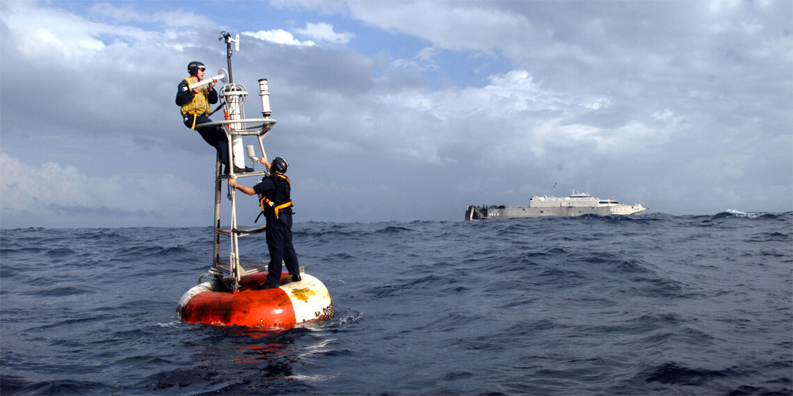
The Maritime Forecast Models
Global Forecast System (GFS)
GFS is the global numerical weather prediction computer model run by NOAA. It is run four times a day and delivers forecasts up to 16 days in advance. Beyond 7 days, the forecast is not very accurate.
Integrated Forecast System (IFS)
IFS is the operational global meteorological forecasting model run by the European Centre for Medium-Range Weather Forecasts (ECMWF), based in Reading, England. It is run every twelve hours and delivers forecasts up to 10 days in advance. The operational model runs both in a deterministic forecast mode and as a 51-member ensemble.
North American Mesoscale Model (NAM)
NAM is a numerical weather prediction model run by the National Centers for Environmental Prediction (NCEP) for short-term weather forecasting. Currently, the Weather Research and Forecasting Non-hydrostatic Mesoscale Model (WRF-NMM) is run as NAM. It is run four times a day and delivers forecasts up to 84 hours in advance. Provides finer detail than other operational forecast models.
Weather Research and Forecasting (WRF)
WRF is a numerical program model used for forecasting and research. Adopted by meteorological services worldwide. Embeds a specialized Hurricane version (HWRF) and shows highly detailed forecasts in a four-kilometer range.
The International Meteorological Organizations
The World Meteorological Organization (WMO) is a specialized intergovernmental agency of the United Nations with 193 member states and territories.
The mission of the WMO is to facilitate worldwide cooperation regarding climate, weather, and water resources, standardize meteorological observations, and support research and training in weather-related sciences.
It was founded on March 23, 1960.
The Intergovernmental Oceanographic Commission (IOC) of UNESCO is a United Nations (UN) body with 147 member states specializing in ocean science, global tsunami warning systems, observations, and data exchange.
It is the only competent entity for marine science within the UN and promotes international cooperation to improve the protection of the marine environment.
It was founded in 1960.
The International Hydrographic Organization (IHO) is an intergovernmental organization responsible for ensuring that the world's oceans, seas, and navigable waters are properly surveyed and charted.
The nautical charting and hydrographic surveying authority has 93 member states and enjoys observer status at the United Nations.
It was founded on June 21, 1921.
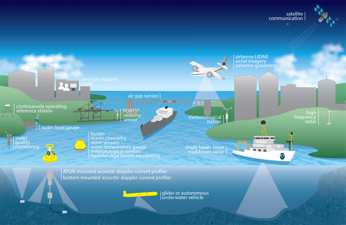
The Global Ocean Observing System (GOOS) is an Intergovernmental Oceanographic Commission (IOC) program that focuses on sustained global observations of the ocean.
It's a collaborative system of ocean observations that relies on satellite systems, in situ networks, individual scientists, United Nations agencies, and governments to perform observations, modeling, and analyzing marine and ocean data.
It was founded in 1988.
The Marine Meteorology and Oceanography Programme (MMOP) is a body of the World Meteorological Organization (WMO) that regulates, coordinates, develops, facilitates, and recommends standard procedures for global and regional marine observations and data management.
More weather and meteorological organizations include the Global Maritime Distress and Safety System (GMDSS), National Oceanic and Atmospheric Administration (NOAA), and the National Hurricane Center (NHC).
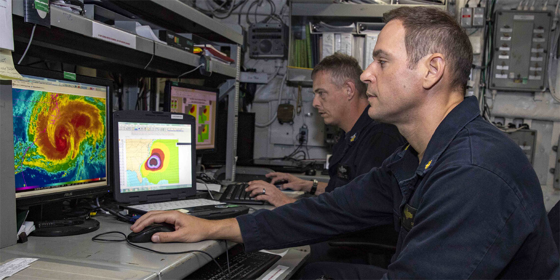
Tsunami Watch & Warning
Pacific Tsunami Warning Center
Joint Australian Tsunami Warning Centre
West Coast & Alaska Tsunami Warnings
Japan Tsunami Warnings/Advisories
Surf Forecasting Books
Surf science tells us how swell models work and how waves reach our shores.
It's easy to learn how to forecast great surfing conditions for your region. In a couple of days, and with a couple of surf forecasting books, you can make your own maritime forecast.
Discover the truth behind low and high-pressure systems, wind force, fetch, tides, shoaling, refraction, water temperatures, swell decay, steepness, trough, wavelength, and bathymetry.
Get the best surf forecasting books.
Know Before You Surf
What is wind? How is wind formed?
The importance of swell period in surfing
The tidal "Rule of Twelfths" in surfing
The difference between ground swells and wind swells
The effects of shoaling and refraction in wave height
