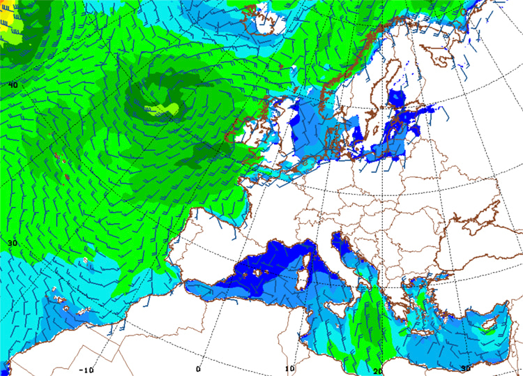
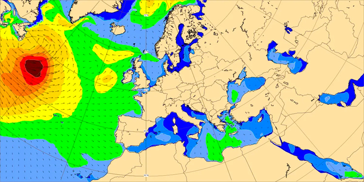
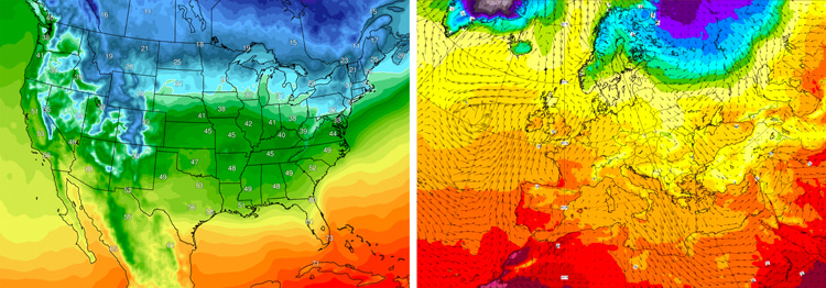
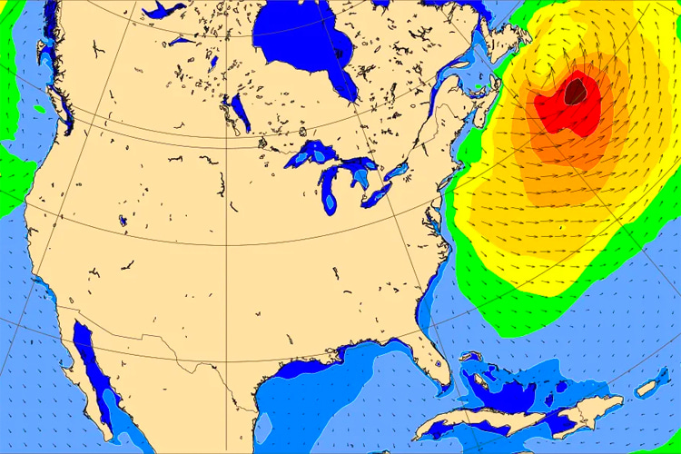
The European Centre for Medium-Range Weather Forecasts (ECMWF) and Global Forecast System (GFS) are the leading global numerical weather prediction systems. But what are the differences between them?
A global numerical weather prediction system/model is a sophisticated computer-based tool that uses mathematical equations to simulate and forecast atmospheric conditions on a worldwide scale.
These models employ numerical methods to represent the complex interactions and processes occurring in the Earth's atmosphere, oceans, and land surface, including temperature, pressure, humidity, wind patterns, and other relevant parameters.
The Earth's atmosphere is divided into a multi-dimensional grid, and the models calculate the state of the atmosphere at each grid point over time.
Numerical weather prediction models use data assimilation techniques to incorporate real-time observational data from various sources, such as satellites, weather stations, ocean buoys, balloons, and aircraft.
These models then run simulations forward in time to predict future atmospheric and oceanic conditions.
GFS and ECMWF are the most widely used global numerical weather prediction systems on the planet.
They are used every day by national weather services, shipping and airline companies, and professional and amateur meteorologists and surf forecasters for multiple purposes.
But what are the differences between them? Which one is the most accurate weather forecasting model?
Global Forecast System (GFS)

The Global Forecast System (GFS) is a numerical weather prediction model designed and run by the National Centers for Environmental Prediction (NCEP), part of the United States National Weather Service (NWS).
The GFS is a global model that provides weather forecasts for the entire globe and is one of the primary models used for medium-range weather prediction.
The GFS provides predictions on a global scale, covering the entire Earth and making it a valuable tool for meteorologists and researchers worldwide.
The North American numerical weather model is particularly known for its medium-range forecasts, typically ranging from a few days up to about two weeks into the future.
It is less accurate for short-term forecasts compared to high-resolution regional models but excels in providing a broad view of weather patterns on a global scale.
The model runs four times a day, providing forecast outputs for different lead times and allowing meteorologists to track and analyze the evolution of weather patterns.
The GFS has a relatively coarse spatial resolution compared to regional models focusing on specific areas.
In other words, while it can capture large-scale weather patterns, it may provide less detail for smaller-scale phenomena.
The GFS produces various output parameters, including temperature, precipitation, wind speed and direction, atmospheric pressure, and more.
It incorporates real-time observational data into its initial conditions through a process called data assimilation, i.e., incorporating the latest observations from satellites, weather stations, and other sources.
The GFS is subject to ongoing research and development efforts to enhance its performance and accuracy.
Updates and improvements are periodically implemented to keep the model at the forefront of numerical weather prediction capabilities.
European Centre for Medium-Range Weather Forecasts (ECMWF)

The European Centre for Medium-Range Weather Forecasts (ECMWF) is an intergovernmental organization supported by 35 European countries.
These member countries contribute financially and technically to the center's operations.
The cooperation allows for sharing resources and expertise, fostering advancements in weather forecasting and climate research.
Established in 1975, ECMWF's mission is to provide accurate medium-range weather forecasts (up to 15 days ahead) and other related services to its member countries.
It is recognized as one of the leading global centers for weather prediction and atmospheric research.
ECMWF has its headquarters in Reading, United Kingdom.
The center operates a high-performance computing facility, crucial for running complex numerical weather prediction models.
ECMWF employs advanced numerical weather prediction models to generate medium-range, monthly, and seasonal weather forecasts.
The accuracy and reliability of ECMWF's forecasts have made it a globally respected institution.
To improve the accuracy of its models, ECMWF relies on a vast array of observational data, including satellite observations, ground-based measurements, and data from other meteorological instruments.
The assimilation of this data into the models helps update and refine the predictions.

Local vs. Regional Vs. Global Weather Predictions
Both global and regional weather models require significant computational power to solve the governing equations of the atmosphere.
The sheer complexity of these calculations, considering every point on Earth's surface and in the atmosphere, makes it impractical to achieve a perfect forecast in a reasonable timeframe.
The key tradeoff in weather modeling is the spatial resolution.
If fewer points are chosen for calculations, the forecast is completed faster but is less accurate.
More points result in a more accurate forecast but with a longer computational time.
Global weather models typically calculate governing equations with points separated by about 6.2 miles (10 kilometers) horizontally.
This is effective for predicting large-scale features like mid-latitude storm systems and major heat waves or cold snaps.
These models are the primary means for forecasting weather patterns beyond 3-5 days into the future due to their broader coverage.
With higher resolution, regional models are used to predict localized phenomena such as individual storm cells or tomorrow's high temperature in a specific town.
To achieve higher resolution, these models focus on a smaller geographic region. They are particularly useful for short-term forecasts (1-3 days).
Regional models address the limitation of global models in predicting small-scale phenomena like severe thunderstorms.
By running at a high resolution but for a limited area, they provide more detailed analyses for short-term forecasts.
Global models are best for forecasting large-scale features and long-term predictions, while regional models excel in detailed, short-term forecasts for specific regions.
Both models are valuable tools, and their effectiveness depends on using them appropriately based on their strengths and limitations.
Despite their higher resolution, regional models still have limitations in predicting the exact locations affected by severe storms.
They may offer accuracy within a county or two but struggle with pinpointing specific towns.
Both global and regional models are essential for weather prediction, each serving a specific purpose.
The better we understand their strengths and weaknesses, the better we'll use them effectively and avoid misinterpretations in forecasting.
GFS vs. ECMWF: The Differences
The ECMWF generally outperforms the GFS statistically, but there are instances where the GFS may perform better for specific events.
Let's summarize the main differences between both leading weather forecasting models:
- Resolution: GFS runs at a lower resolution than the ECMWF model. The grid points in the GFS model are located farther apart (every 13 kilometers) than the ECMWF model (every 9 kilometers). Lower resolution generally implies less accuracy in forecasting, as the model may miss finer atmospheric and topographic features;
- Model Skill Score: Statistically, the ECMWF consistently performs better than the GFS. Studies indicated that since 2007, the ECMWF has consistently produced more accurate 5-day forecasts for the Northern Hemisphere between 20 and 80N compared to the GFS;
- Performance for Specific Events: While the ECMWF generally outperforms the GFS, there are instances where the GFS has been more accurate for specific storms. For example, the GFS predicted the formation of Tropical Storm Dorian before the ECMWF did. However, such cases are considered exceptions;
- Model Variety: ECMWF runs one global model and 51 ensemble members, providing a comprehensive range of forecasts. In contrast, NCEP has a suite of models ranging from the global GFS model to specialized models like the High-Resolution Rapid Refresh (HRRR) for regional predictions and the Hurricane Weather Research and Forecasting (HWRF) for hurricane-specific forecasts;
- Frequency of Runs: The HRRR model runs every hour, allowing forecasters to re-evaluate predictions more frequently than waiting for a global model to run every six hours. This is particularly useful for predicting small-scale features like heavy snow bands and thunderstorm clusters. ECMWF's atmospheric and wave models run every six hours;
- Hurricane Intensity Forecasting: The HWRF model is specifically designed to provide more accurate intensity forecasts for hurricanes and tropical storms. Both the ECMWF and GFS models are noted to be good at predicting the track of hurricanes but less accurate in forecasting their intensity;
- Comprehensive Atmospheric View: The suite of regional models supported by the US Government's weather prediction system, while potentially limiting the accuracy of the global GFS model, provides a more comprehensive view of the atmosphere. This includes specialized models that offer detailed predictions for specific regions and weather phenomena;
The ideal scenario for weather prediction in the US would be to have enough resources to support both a global model matching ECMWF's skill and a full suite of specialized/regional models.
